
Floods, fires and volcanoes
Mangrove loss raises flood, erosion risks along Karachi coast
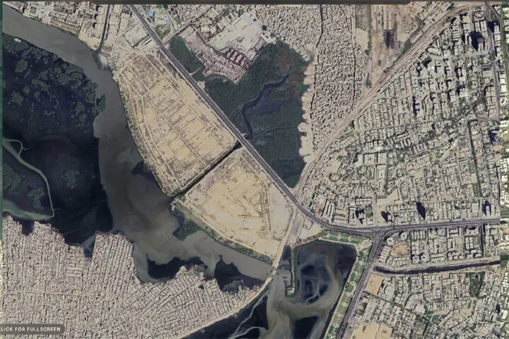
Satellite images from 2000 and 2025 show mangroves near Mai Kolachi replaced by reclaimed land.—Courtesy Suparco ISLAMABAD: New satellite images from 2000 and 2025 released by the country’s space agency show a fundamental shift in land cover along Karachi’s coastal zone near the Mai Kolachi Bypass, where mangrove stands and natural tidal creeks have increasingly given way to reclaimed land and urban development. In a note on the development, the Space and Upper Atmosphere Research Commission (Suparco) said areas once characterised by continuous mangrove cover and natural tidal creeks had